File list
Jump to navigation
Jump to search
This special page shows all uploaded files.


| Date | Name | Thumbnail | Size | User | Description | Versions |
|---|---|---|---|---|---|---|
| 19:37, 18 December 2015 | P593106.jpg (file) |  |
397 KB | Scotfot | User created page with UploadWizard | 1 |
| 19:36, 18 December 2015 | P593099.jpg (file) |  |
282 KB | Scotfot | User created page with UploadWizard | 1 |
| 19:36, 18 December 2015 | P593100.jpg (file) |  |
440 KB | Scotfot | User created page with UploadWizard | 1 |
| 19:36, 18 December 2015 | P537568.jpg (file) |  |
712 KB | Scotfot | User created page with UploadWizard | 1 |
| 19:36, 18 December 2015 | P531993.jpg (file) |  |
259 KB | Scotfot | User created page with UploadWizard | 1 |
| 19:36, 18 December 2015 | P531882.jpg (file) |  |
264 KB | Scotfot | User created page with UploadWizard | 1 |
| 19:36, 18 December 2015 | P531955.jpg (file) |  |
331 KB | Scotfot | User created page with UploadWizard | 1 |
| 19:36, 18 December 2015 | P531871.jpg (file) |  |
860 KB | Scotfot | User created page with UploadWizard | 1 |
| 19:36, 18 December 2015 | P531881.jpg (file) |  |
446 KB | Scotfot | User created page with UploadWizard | 1 |
| 19:36, 18 December 2015 | P530557.jpg (file) |  |
449 KB | Scotfot | User created page with UploadWizard | 1 |
| 19:36, 18 December 2015 | P531474.jpg (file) |  |
361 KB | Scotfot | User created page with UploadWizard | 1 |
| 19:36, 18 December 2015 | P530690.jpg (file) |  |
312 KB | Scotfot | User created page with UploadWizard | 1 |
| 19:36, 18 December 2015 | P530523.jpg (file) |  |
380 KB | Scotfot | User created page with UploadWizard | 1 |
| 19:36, 18 December 2015 | P530634.jpg (file) |  |
299 KB | Scotfot | User created page with UploadWizard | 1 |
| 18:09, 18 December 2015 | P527482.jpg (file) |  |
436 KB | Scotfot | The double unconformity on View southwards from the north side the north-facing slopes of Beinn Garbh, of Loch Assynt. (BGS Photograph with Loch Assynt in the foreground. P527482, © NERC). Figure 113 from: Goodenough, Kathryn M. and Krabbendam, Maarti... | 2 |
| 18:04, 18 December 2015 | P500377.jpg (file) |  |
554 KB | Scotfot | The Glencoul Thrust from Unapool. Lewisian gneiss, characterised by rather hummocky topography, forms the upper slopes of the hill; this has been thrust over the Eriboll Formation quartz arenites that form the prominent cliff line. (BGS photograph P500... | 2 |
| 17:43, 18 December 2015 | P530369.jpg (file) |  |
871 KB | Scotfot | User created page with UploadWizard | 1 |
| 17:43, 18 December 2015 | P512960.jpg (file) |  |
531 KB | Scotfot | User created page with UploadWizard | 1 |
| 17:43, 18 December 2015 | P524833.jpg (file) |  |
908 KB | Scotfot | User created page with UploadWizard | 1 |
| 17:43, 18 December 2015 | P518651.jpg (file) |  |
355 KB | Scotfot | User created page with UploadWizard | 1 |
| 17:42, 18 December 2015 | P518638.jpg (file) |  |
381 KB | Scotfot | User created page with UploadWizard | 1 |
| 17:42, 18 December 2015 | P512723.jpg (file) |  |
881 KB | Scotfot | User created page with UploadWizard | 1 |
| 17:42, 18 December 2015 | P506431.jpg (file) |  |
1.34 MB | Scotfot | User created page with UploadWizard | 1 |
| 17:42, 18 December 2015 | P506429.jpg (file) |  |
518 KB | Scotfot | User created page with UploadWizard | 1 |
| 00:23, 14 December 2015 | EGSArdCover.jpg (file) |  |
1.11 MB | Scotfot | Cover from: Gribble, C.D., Durrance, E.M. and Walsh, J.N. 1976 [1996 reprint] Ardnamurchan: a guide to geological excursions. Edinburgh : Edinburgh Geological Society | 1 |
| 20:55, 12 December 2015 | EGS MOINE 001.jpg (file) |  |
771 KB | Scotfot | Front cover of: Strachan, Rob, Friend, Clark, Alsop, Ian, Miller, Suzanne (Editors). A Geological excursion guide to the Moine geology of the Northern Highlands of Scotland. Edinburgh :Edinburgh Geological Society, Glasgow Geological Society in associa... | 1 |
| 14:39, 9 December 2015 | P005981.jpg (file) |  |
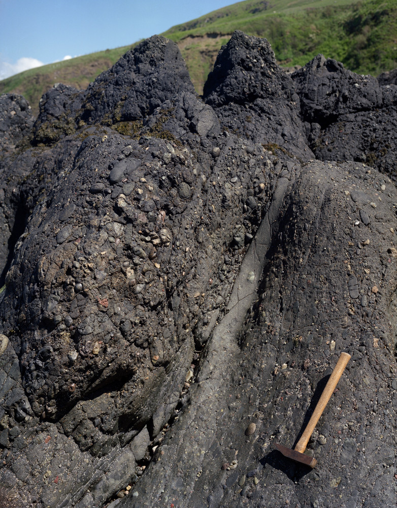
384 KB | JenniferFindlay1 | Horse Rock, by ruins of the Haven Hotel, 1 km. S. of Girvan. Craigskelly conglomerate (Silurian) with interbedded channel-form turbiditic beds. | 2 |
| 14:29, 9 December 2015 | P005980.jpg (file) |  |
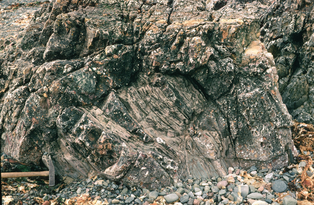
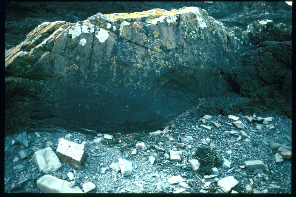
418 KB | JenniferFindlay1 | Cow Rock, by ruins of the Haven Hotel, 1 km. S. of Girvan. Quartz-conglomerate (Silurian) channelled into slumped, laminate mudstones. Here seen disrupted and injected by the conglomerate. | 1 |
| 14:23, 9 December 2015 | P556403.jpg (file) |  |
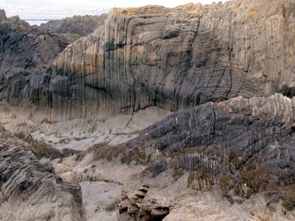
133 KB | JenniferFindlay1 | Ardwell Farm Formation, Kennedy's Pass, Girvan. Folding (thought to be sedimentary - slump induced?) in flaggy sandstone/siltstone. | 1 |
| 14:20, 9 December 2015 | P220329.jpg (file) |  |
402 KB | JenniferFindlay1 | Kennedy's Pass, coast SW from Girvan. The Kilranny Conglomerate. Note inclined bedding defined by pebble imbrication. Late Ordovician. | 1 |
| 13:51, 9 December 2015 | P259025.jpg (file) |  |
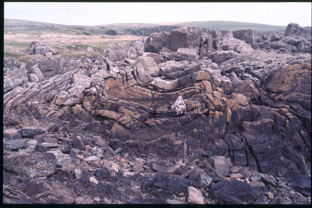
234 KB | JenniferFindlay1 | Ringdoo Point. F1 syncline. P259025 | 1 |
| 13:48, 9 December 2015 | P259023.jpg (file) |  |
289 KB | JenniferFindlay1 | Ringdoo Point. F1 folding. P259023 | 1 |
| 13:36, 9 December 2015 | P008437.jpg (file) |  |
471 KB | JenniferFindlay1 | Shore S. of Low Auchenlarrie (Boatdraught). Deformed sand volcanoes on top of sandstone bed. A bedding plane with numerous small sand volcanoes, many of which preserve a central hollow. The sand volcanoes have been distorted from their original circula... | 1 |
| 13:04, 9 December 2015 | P259111.jpg (file) |  |
299 KB | JenniferFindlay1 | Gipsy Point. Sand volcano, (0986/29, rack 2). P259111 | 1 |
| 13:02, 9 December 2015 | P258913.jpg (file) |  |
241 KB | JenniferFindlay1 | Gipsy Point. Sand volcano. P258913 | 1 |
| 12:34, 9 December 2015 | P772042.jpg (file) |  |
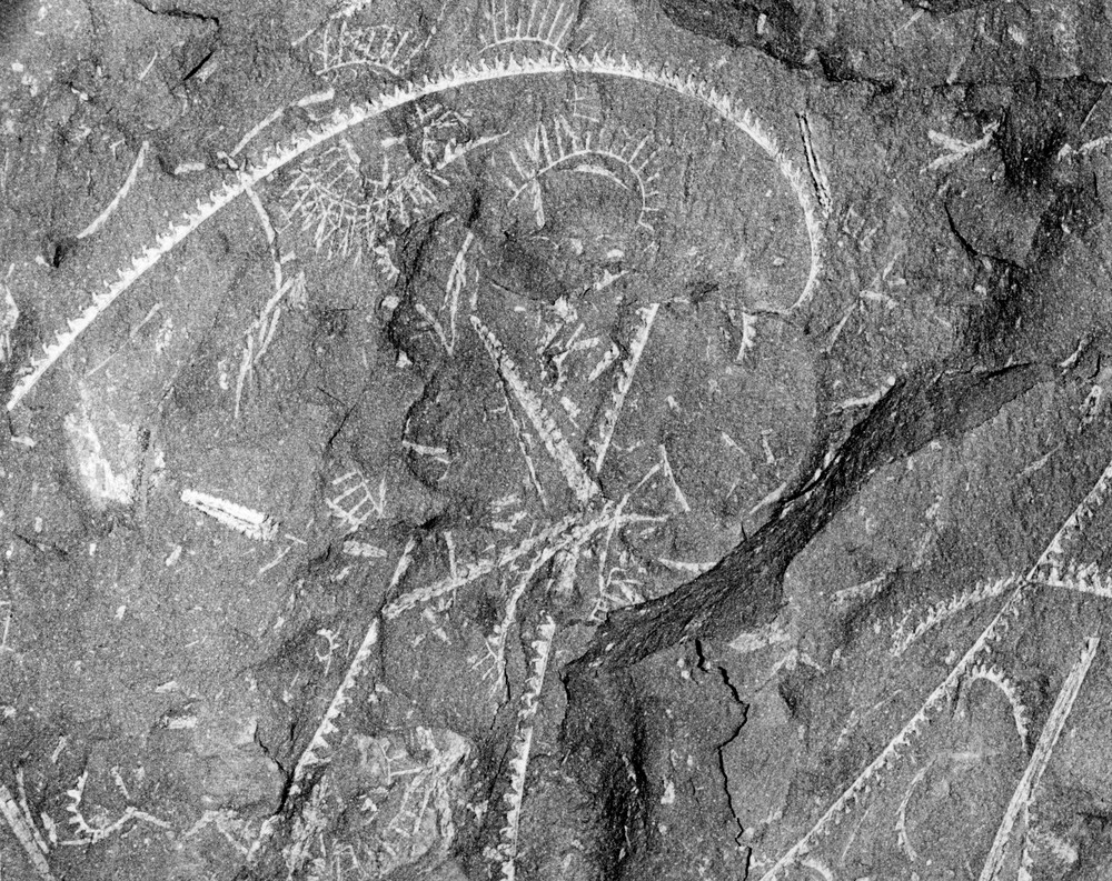
389 KB | JenniferFindlay1 | Silurian (Llandovery) graptolites from southern Scotland. Locality is probabably Dob's Linn, Moffatdale. 1:50 k sheet 16E (Ettrick), NT 196 158. P772042 | 1 |
| 11:22, 9 December 2015 | P571542.jpg (file) |  |
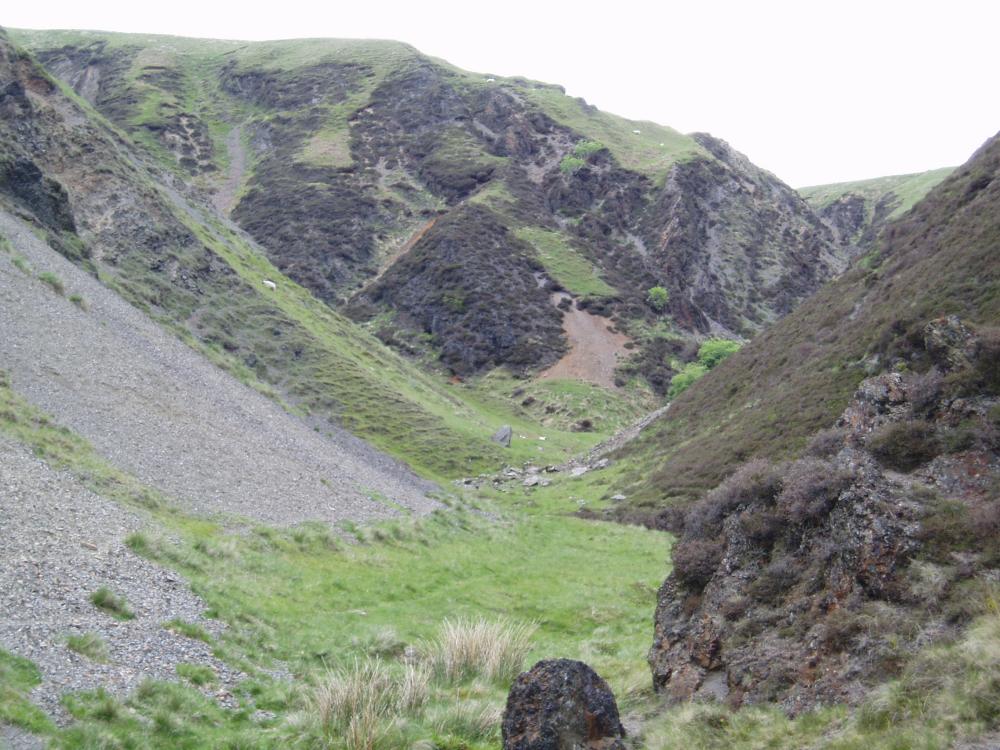
129 KB | JenniferFindlay1 | View towards Dob's Linn, Moffatdale, Main Branch round spur on right, Linn Branch on left in from of red scar. P571542 | 1 |
| 16:16, 7 December 2015 | OR14058.jpg (file) |  |
65 KB | Dbk | cover | 1 |
| 15:08, 7 December 2015 | OR14035.jpg (file) |  |
64 KB | Dbk | cover | 1 |
| 15:02, 7 December 2015 | OR14030.jpg (file) |  |
79 KB | Dbk | cover | 1 |
| 14:54, 7 December 2015 | OR14029.jpg (file) |  |
63 KB | Dbk | cover | 1 |
| 14:46, 7 December 2015 | OR14028.jpg (file) |  |
49 KB | Dbk | cover | 1 |
| 14:35, 7 December 2015 | OR14027.jpg (file) |  |
52 KB | Dbk | cover | 1 |
| 14:28, 7 December 2015 | OR14026.jpg (file) |  |
52 KB | Dbk | cover | 1 |
| 14:24, 7 December 2015 | OR14025.jpg (file) |  |
63 KB | Dbk | cover | 1 |
| 14:16, 7 December 2015 | OR14024.jpg (file) |  |
46 KB | Dbk | cover | 1 |
| 14:18, 4 December 2015 | OR15009.jpg (file) |  |
78 KB | Dbk | cover | 1 |
| 14:16, 4 December 2015 | 15009 fig25.jpg (file) |  |
113 KB | Dbk | Schematic highlighting key pathways for hazard migration to groundwater sources. Pathways and receptors have been greyed out for clarity. High groundwater level conditions with highest risks are presented. | 1 |
| 14:15, 4 December 2015 | 15009 fig24.jpg (file) |  |
106 KB | Dbk | Schematic showing key sources of hazards relevant to groundwater and surface water supplies. Receptors and pathways have been greyed out for clarity. High groundwater level conditions with highest risks are presented. | 1 |
| 14:14, 4 December 2015 | 15009 fig23.jpg (file) |  |
131 KB | Dbk | Groundwater receptors and key groundwater zones typically found in Sierra Leone and elsewhere in tropical basement terrains. Sources of contamination and key pathways have been greyed out for clarity. High groundwater level conditions with highest risk... | 1 |