File list
Jump to navigation
Jump to search
This special page shows all uploaded files.


| Date | Name | Thumbnail | Size | User | Description | Versions |
|---|---|---|---|---|---|---|
| 20:05, 13 November 2015 | EGS Ardnamurchan Fig 03.jpg (file) |  |
859 KB | Scotfot | User created page with UploadWizard | 1 |
| 19:46, 13 November 2015 | EGS Ardnamurchan Fig 01.jpg (file) |  |
942 KB | Scotfot | The Tertiary igneous centres of Scotland and their associated dyke swarms (based on Richey et al. 1930). Figure 1. From: Gribble, C.D., Durrance, E.M. and Walsh, J.N. 1976 [1996 reprint] Ardnamurchan: a guide to geological excursions. Edinburgh : Edinb... | 1 |
| 19:25, 13 November 2015 | MingaryPier.JPG (file) |  |
152 KB | Scotfot | Geological map. Ormsaigbeg to Mingary Castle, Ardnamurchan. Extract from BGS Ardnamuchan 1:25,000 map. | 1 |
| 18:44, 13 November 2015 | EGS Orkney 002.jpg (file) |  |
192 KB | Scotfot | A measured cycle in the Stromness Flags. (Mykura 1976) Figure 3. from: Fannin, Nigel G.T. Edinburgh Geological Society field excursion Orkney May 1991 (unpublished) | 1 |
| 18:42, 13 November 2015 | EGS Orkney 001.jpg (file) |  |
157 KB | Scotfot | Simplified map of the geology of western Orkney based on lithological logs of the coastal section. Figure 2. from: Fannin, Nigel G.T. Edinburgh Geological Society field excursion Orkney May 1991 (unpublished) | 1 |
| 22:56, 12 November 2015 | P000527.jpg (file) |  |
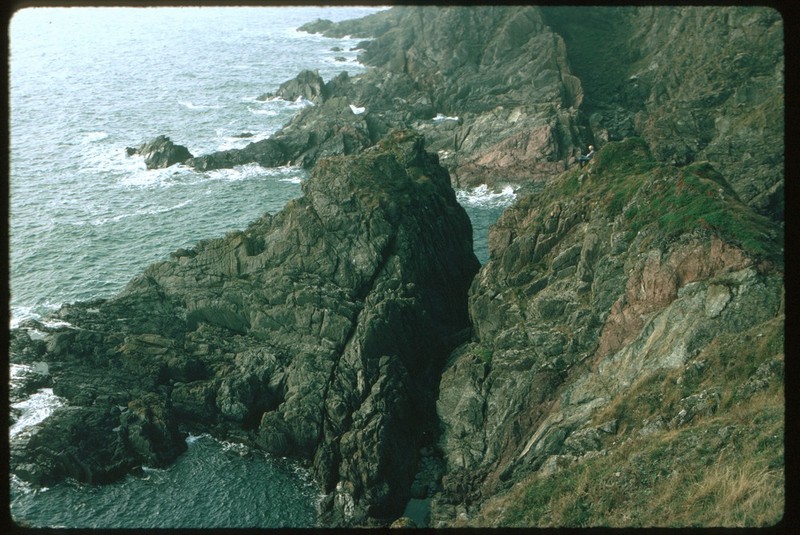
136 KB | Scotfot | Skara Brae, located at the Bay of Skaill on mainland Orkney and thought to be c. 5000 years old, is one of the earliest known farming settlements in Britain. This is a general view of part of the settlement, showing the houses clustered together, sur... | 1 |
| 22:36, 12 November 2015 | P104135.jpg (file) |  |
97 KB | Scotfot | The fossil fish ''Dipterus valenciennesi'' from Achanarras quarry, Caithness. | 1 |
| 22:26, 12 November 2015 | P504870.jpg (file) |  |
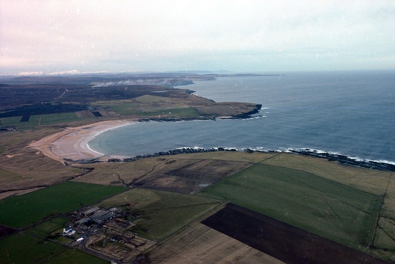
97 KB | Scotfot | Aerial view of Sandside Bay, Caithness. | 1 |
| 11:20, 10 November 2015 | IS039.jpg (file) |  |
2.11 MB | Islasimmons | Greyfriars Bobby, Candlemaker Row. Bronze sculpture sits on a plinth of polished Cumbrian Shap Granite with prominent pink feldspar crystals. Created by William Brodie, 1872. | 1 |
| 11:19, 10 November 2015 | IS037.jpg (file) |  |
2.12 MB | Islasimmons | Greyfriars Bobby, Candlemaker Row. Bronze sculpture sits on a plinth of polished Cumbrian Shap Granite with prominent pink feldspar crystals. Created by William Brodie, 1872. | 1 |
| 11:16, 10 November 2015 | IS038.jpg (file) |  |
2.01 MB | Islasimmons | Flodden Wall (in Greyfriars Kirkyard). Built of sandstone rubble. | 1 |
| 11:16, 10 November 2015 | P001124.jpg (file) |  |
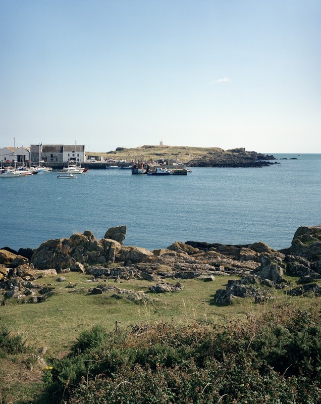
156 KB | JenniferFindlay1 | Isle of Whithorn viewed looking south-east across Isle of Whithorn Bay towards the South Pier of the harbour. Geologically it is part of the extensive outcrop of Lower Palaeozoic strata which forms the Southern Uplands of Scotland. Greywackes are the d... | 1 |
| 11:14, 10 November 2015 | IS036.jpg (file) |  |
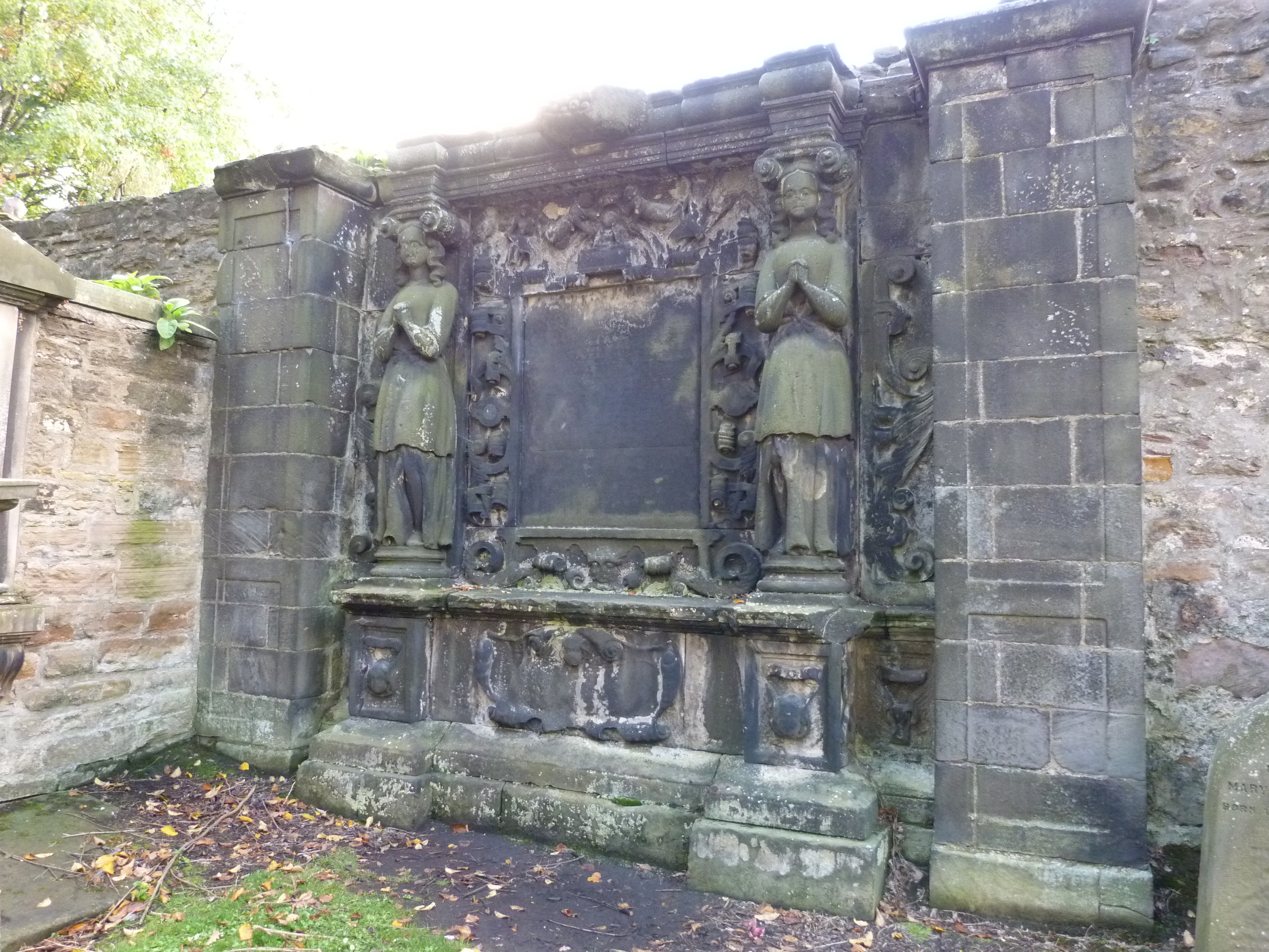
3 MB | Islasimmons | Monument from Greyfriars Kirkyard. | 1 |
| 11:13, 10 November 2015 | IS034.jpg (file) |  |
2.1 MB | Islasimmons | Monument from Greyfriars Kirkyard. | 1 |
| 11:10, 10 November 2015 | P008407.jpg (file) |  |
154 KB | JenniferFindlay1 | Burrow Head. Looking N. Red mudstones in Carghidown Formation. Unusually thick red mudstone beds in steeply-dipping, locally disrupted greywackes of the Carghidown Formation, Hawick Group. | 1 |
| 11:09, 10 November 2015 | IS035.jpg (file) |  |
2.89 MB | Islasimmons | Greyfriars Kirk. Uses second hand stone from Convent of Sciennes. Original church built 1602-1620, rebuilt several times since then. | 1 |
| 11:05, 10 November 2015 | IS033.jpg (file) |  |
2.03 MB | Islasimmons | The Queen's Rifle Volunteer Brigade 'The Royal Scots' Headquarters. Now Communications and Marketing, University of Edinburgh. Built in 1904. | 1 |
| 11:00, 10 November 2015 | IS032.jpg (file) |  |
2.95 MB | Islasimmons | Former Charity Workhouse. Harled tenements on Forest Road. Sandstone from City Quarry (Burgh Muir). Built in 1739-1743. | 1 |
| 10:58, 10 November 2015 | IS031.jpg (file) |  |
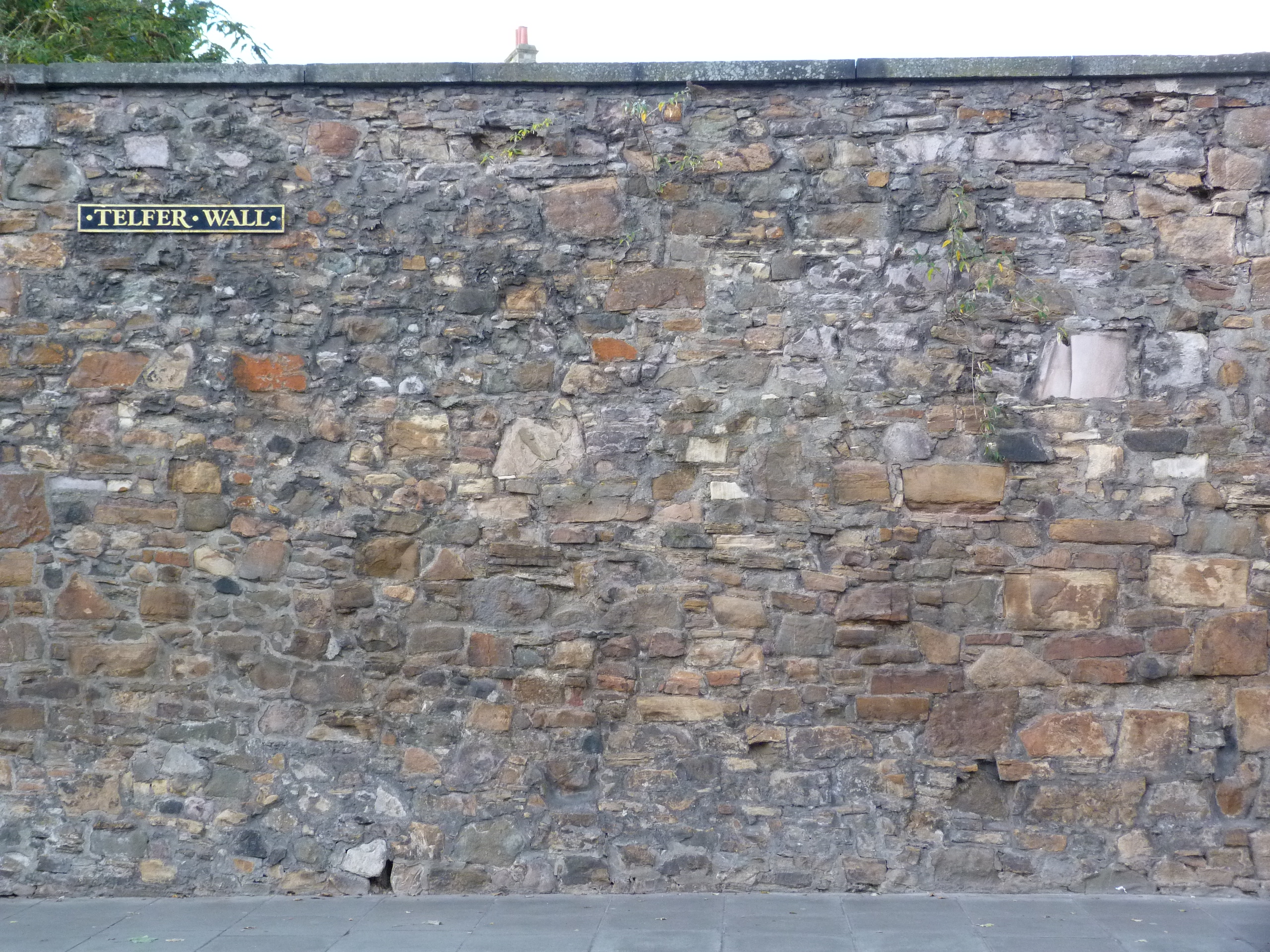
2.75 MB | Islasimmons | Telfer Wall, Lauriston Place. An extension of Flodden Wall to incorporate George Heriot's Hospital. Rubble construction mainly of local sandstones. Built 1628-1636. | 1 |
| 10:57, 10 November 2015 | IS030.jpg (file) |  |
2.98 MB | Islasimmons | Telfer Wall, Lauriston Place. An extension of Flodden Wall to incorporate George Heriot's Hospital. Rubble construction mainly of local sandstones. Built 1628-1636. | 1 |
| 10:54, 10 November 2015 | IS029.jpg (file) |  |
2.14 MB | Islasimmons | Former Royal Infirmary. Scots baronial style by David Bryce begun 1872 and finished by his nephew John in 1879. Stone from Hailes and Cullalo (Fife). | 1 |
| 10:53, 10 November 2015 | IS028.jpg (file) |  |
2.96 MB | Islasimmons | Former Royal Infirmary. Scots baronial style by David Bryce begun 1872. and finished by his nephew John in 1879. Stone from Hailes and Cullalo (Fife). | 1 |
| 10:48, 10 November 2015 | IS027.jpg (file) |  |
2.85 MB | Islasimmons | Telfer Wall, Lauriston Place. An extension of Flodden Wall to incorporate George Herio's Hospital. Rubble construction mainly of local sandstones. Built 1628-1636. | 1 |
| 23:36, 3 November 2015 | EGS Ballachulish Photo 26.jpg (file) |  |
715 KB | Scotfot | User created page with UploadWizard | 1 |
| 23:36, 3 November 2015 | EGS Ballachulish Photo 24.jpg (file) |  |
864 KB | Scotfot | User created page with UploadWizard | 1 |
| 23:36, 3 November 2015 | EGS Ballachulish Photo 25.jpg (file) |  |
676 KB | Scotfot | User created page with UploadWizard | 1 |
| 23:36, 3 November 2015 | EGS Ballachulish Photo 22.jpg (file) |  |
647 KB | Scotfot | User created page with UploadWizard | 1 |
| 23:36, 3 November 2015 | EGS Ballachulish Photo 23.jpg (file) |  |
738 KB | Scotfot | User created page with UploadWizard | 1 |
| 23:29, 3 November 2015 | EGS Ballachulish Photo 21.jpg (file) |  |
900 KB | Scotfot | User created page with UploadWizard | 1 |
| 23:29, 3 November 2015 | EGS Ballachulish Photo 20.jpg (file) |  |
1.02 MB | Scotfot | User created page with UploadWizard | 1 |
| 23:29, 3 November 2015 | EGS Ballachulish Photo 18.jpg (file) |  |
950 KB | Scotfot | User created page with UploadWizard | 1 |
| 23:29, 3 November 2015 | EGS Ballachulish Photo 17.jpg (file) |  |
986 KB | Scotfot | User created page with UploadWizard | 1 |
| 23:29, 3 November 2015 | EGS Ballachulish Photo 19.jpg (file) |  |
825 KB | Scotfot | User created page with UploadWizard | 1 |
| 23:24, 3 November 2015 | EGS Ballachulish Photo 15.jpg (file) |  |
751 KB | Scotfot | View of the contact between granite of the igneous complex (light coloured upper crags) and the Chaotic Zone pelitic migmatites (dark lower exposures. Photo 15. From: Pattison, D.R.M. and Harte, B. The Ballachulish Igneous Complex and aureole: a field... | 1 |
| 23:19, 3 November 2015 | EGS Ballachulish Photo 13.jpg (file) |  |
788 KB | Scotfot | User created page with UploadWizard | 1 |
| 23:19, 3 November 2015 | EGS Ballachulish Photo 16.jpg (file) |  |
720 KB | Scotfot | User created page with UploadWizard | 1 |
| 23:19, 3 November 2015 | EGS Ballachulish Photo 14.jpg (file) |  |
471 KB | Scotfot | User created page with UploadWizard | 1 |
| 23:11, 3 November 2015 | EGS Ballachulish Photo 12.jpg (file) |  |
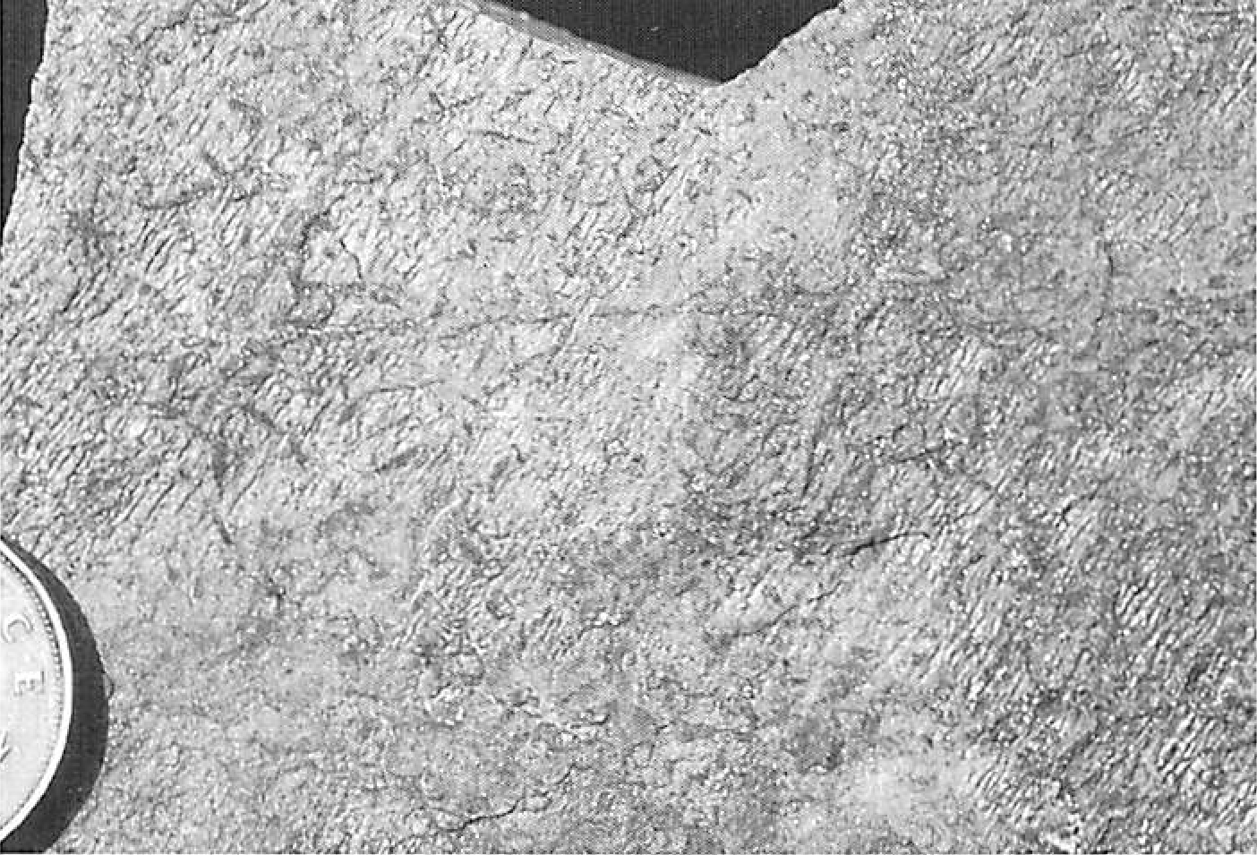
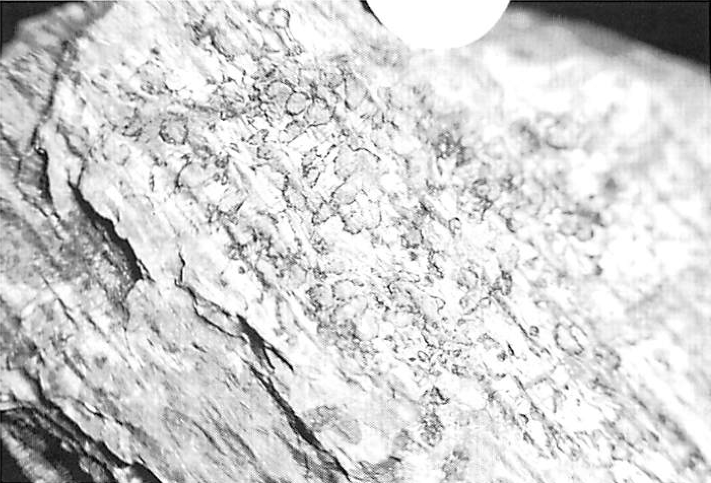
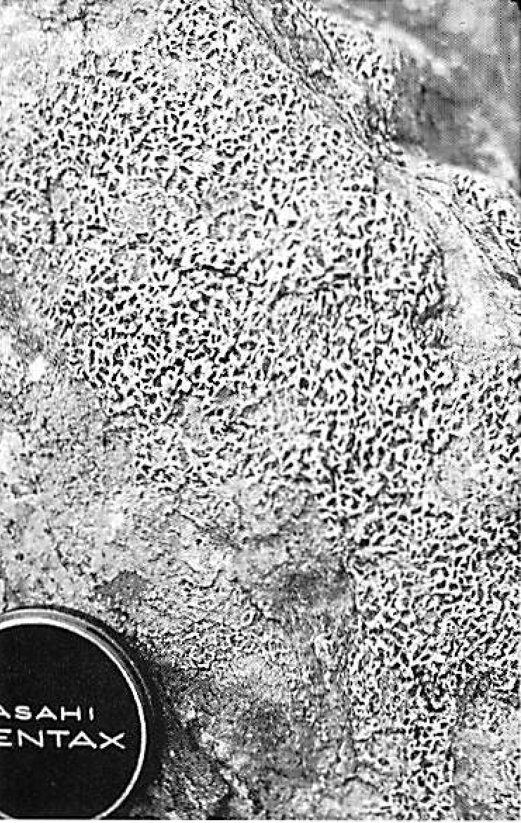
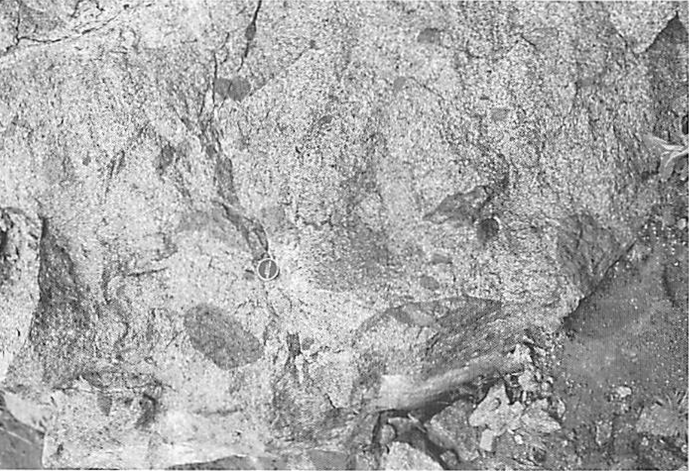
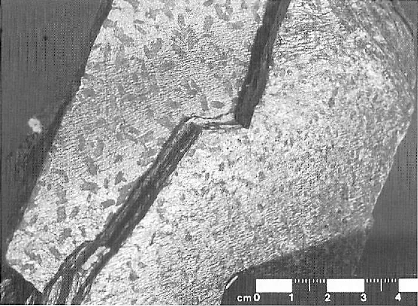
711 KB | Scotfot | Stops 3-4, 1-8, 5-2, 5-4 and 5-5. Massive Crd+Kfs-bearing pelitic hornfels characteristic of Zone IVb. The photograph was taken near Stop 5-5 in Coire Giubhsachain, but is representative of Zone IVb in many parts of the aureole. Note the mesh or honeyc... | 1 |
| 23:09, 3 November 2015 | EGS Ballachulish Photo 11.jpg (file) |  |
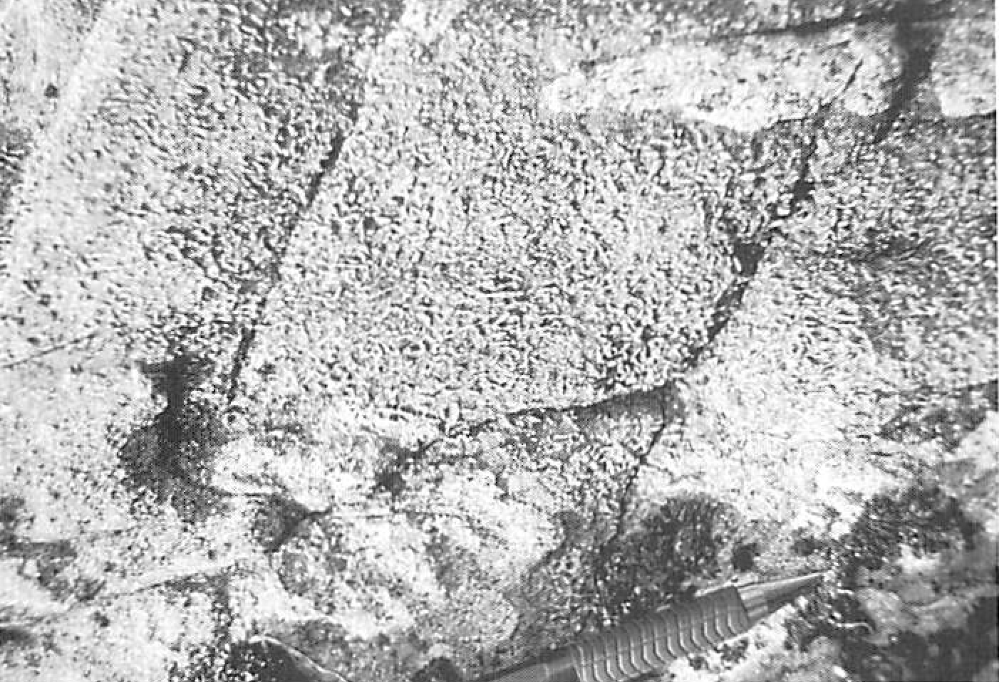
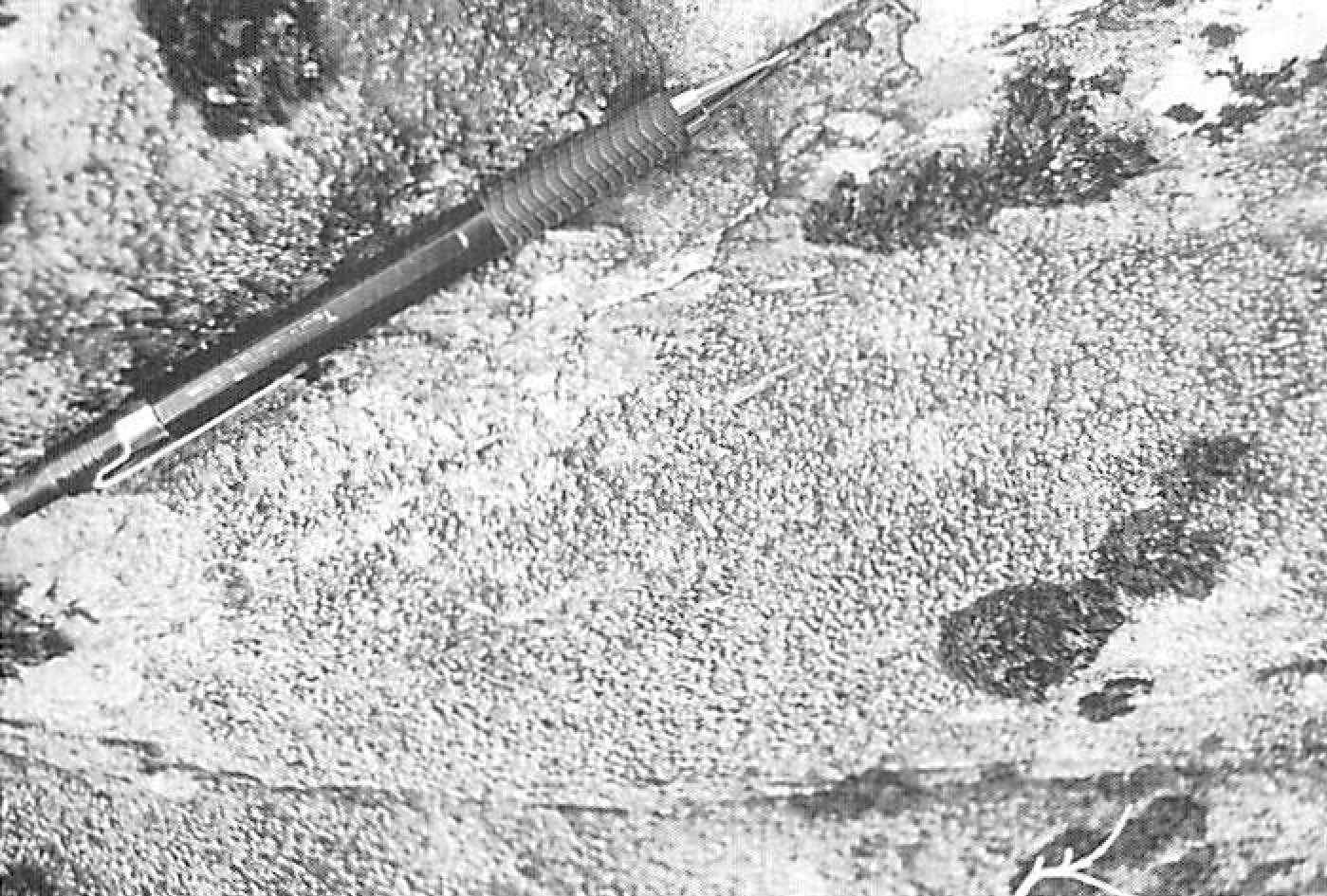
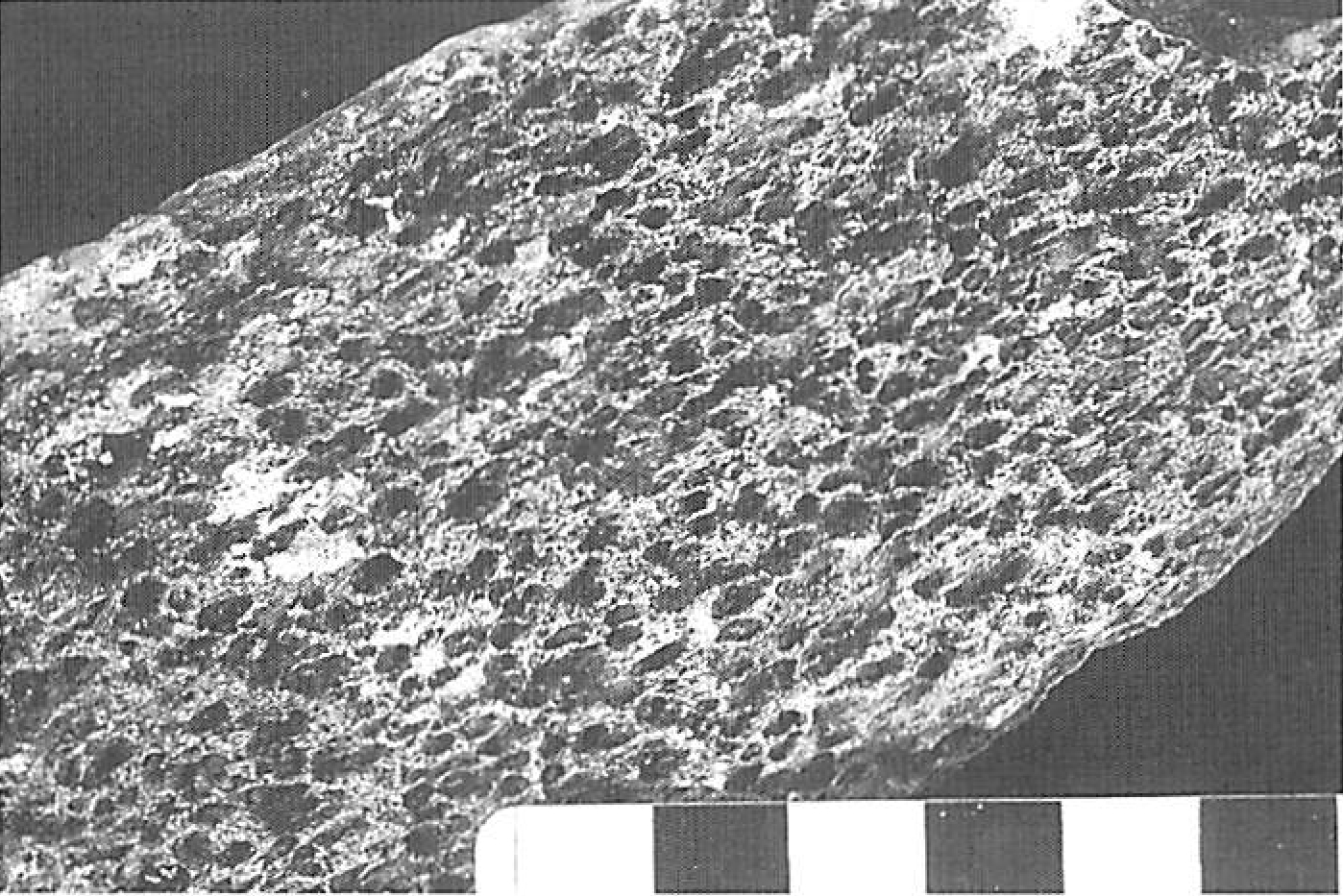
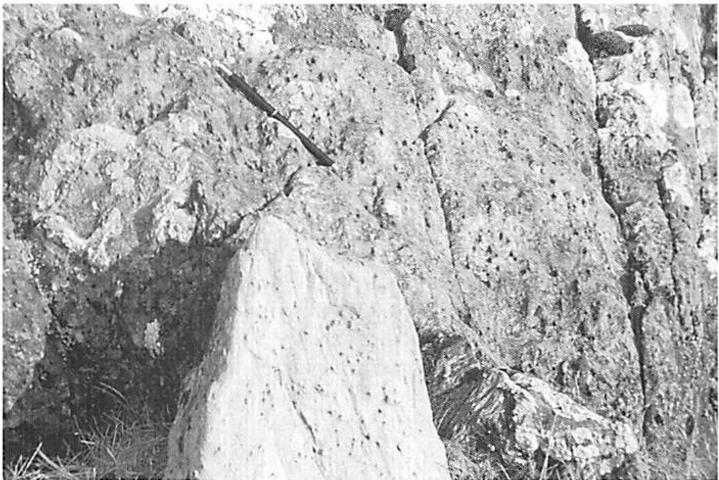
959 KB | Scotfot | Stop 3-3. Massive, pitted pelitic hornfels from the high grade end of Zone III. Fraochaidh transect. The pits represent the sites of weathered out cordierite crystals. The matrix surrounding the pits is rich in muscovite, biotite and quartz. Scale bar... | 1 |
| 23:03, 3 November 2015 | EGS Ballachulish Photo 10.jpg (file) |  |
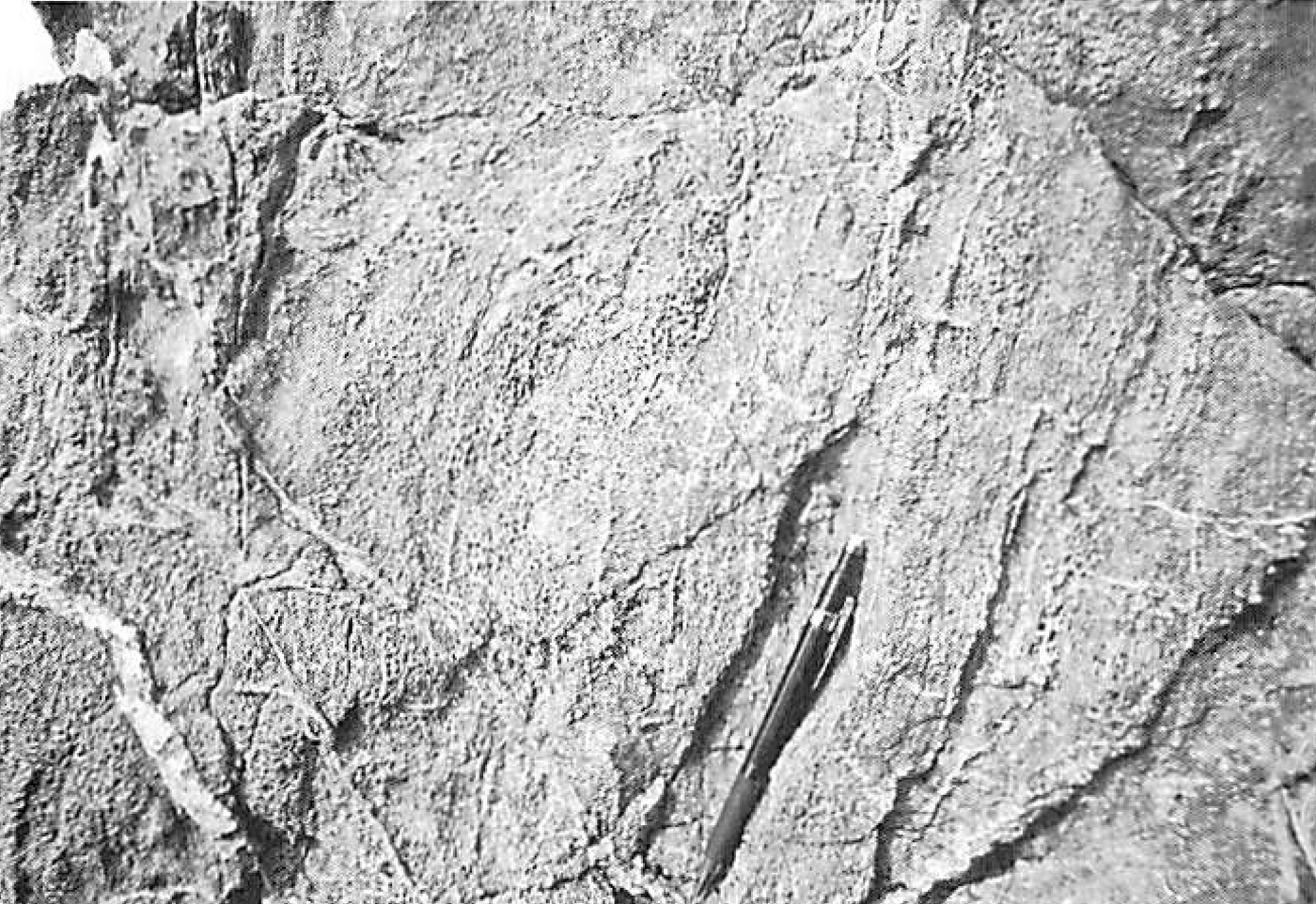
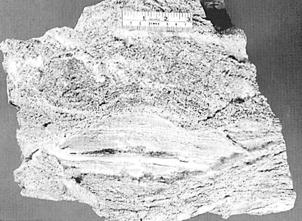
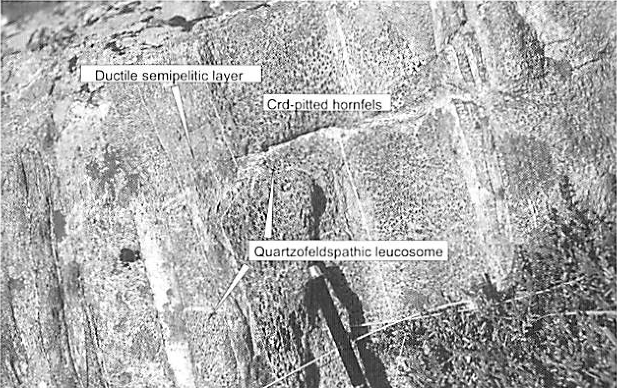
770 KB | Scotfot | Stops 1-8 and 1-9. Incipient migmatitic features in interbedded pelitic and semipelitic hornfels, upper Zone V. See description of Stop 1-9 for an explanation of the features. Photo 10 From: Pattison, D.R.M. and Harte, B. The Ballachulish Igneous Comp... | 1 |
| 23:02, 3 November 2015 | EGS Ballachulish Photo 09.jpg (file) |  |
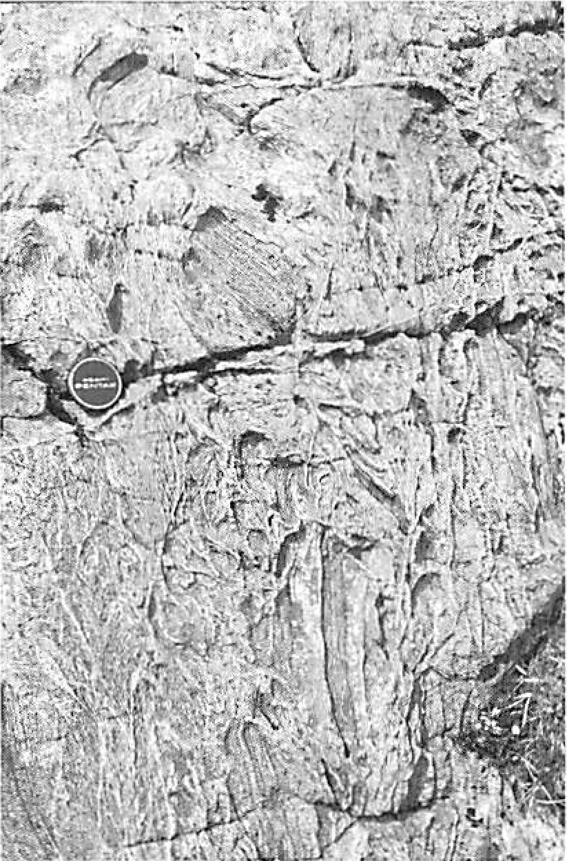
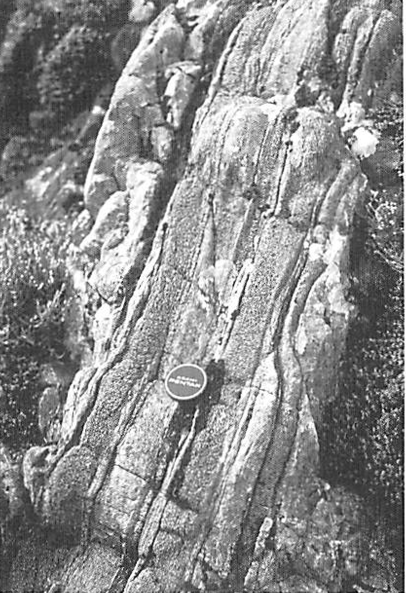
799 KB | Scotfot | Stops 1-8, 5-4 and 5-5. Interbedded psammite (light layers) and pelitic hornfels (dark, knobbly layers, rich in cordierite+K feldspar+andalusite), from Zone V. The actual exposure in the photograph is from near Stop 5-5, but is similar to exposures see... | 1 |
| 23:00, 3 November 2015 | EGS Ballachulish Photo 08.jpg (file) |  |
989 KB | Scotfot | Stop 1-7/1. Inclusion-rich quartz diorite. The inclusions range from metasedimentary, especially metapelitic, xenoliths, to intermediate-mafic igneous inclusions of similar mineralogy to the host quartz diorite. Photo 8. From: Pattison, D.R.M. and Har... | 1 |
| 22:58, 3 November 2015 | EGS Ballachulish Photo 07.jpg (file) |  |
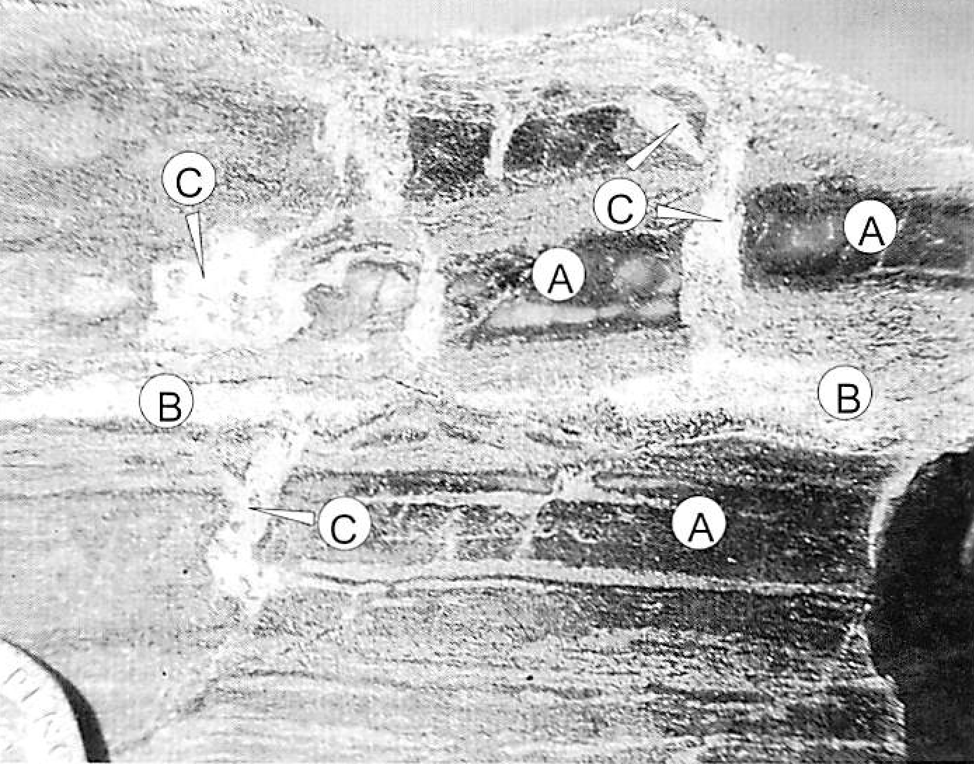
986 KB | Scotfot | Stops 1-3 and 3-1. Cordierite porphyroblasts visible as dark patches on cleavage planes of regional phyllites and schists. Note that the size of the patches varies in different parts of the rock. This sample comes from roadside exposures near the parki... | 1 |
| 22:55, 3 November 2015 | EGS Ballachulish Photo 06.jpg (file) |  |
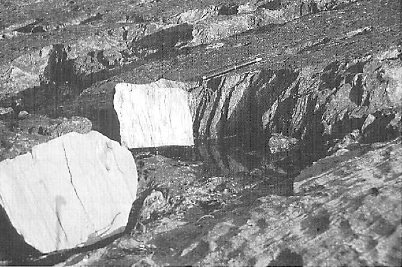
798 KB | Scotfot | Stop 1-2. Fine grained graphitic black slate/phyllite of the Ballachulish Slate lithology interbedded with dark grey marble of the Ballachulish Limestone lithology (foreground). These rocks lie immediately east of the Ballachulish Slide. Photo 6. From... | 1 |
| 22:53, 3 November 2015 | EGS Ballachulish Photo 05.jpg (file) |  |
961 KB | Scotfot | Stop 1-2. Garnetiferous phyllite/schist of the Leven Schist lithology, immediately west of the Ballachulish Slide. Photo 5. From: Pattison, D.R.M. and Harte, B. The Ballachulish Igneous Complex and aureole: a field guide. Edinburgh : Edinburgh Geologi... | 1 |
| 22:51, 3 November 2015 | EGS Ballachulish Photo 04.jpg (file) |  |
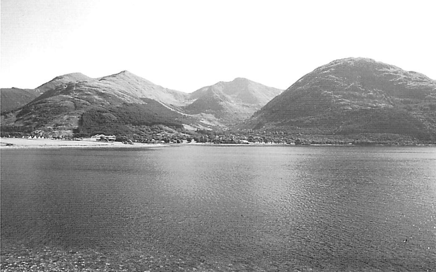
589 KB | Scotfot | View of the Beinn a' Bheithir massif underlain by the Ballachulish Igneous Complex and Aureole, taken looking south across Loch Leven from the Onich shore near Stop 1-1. The hill complex seen is referred to Collectively as Beinn Bheithir and the peaks... | 1 |
| 22:47, 3 November 2015 | EGS Ballachulish Photo 03.jpg (file) |  |
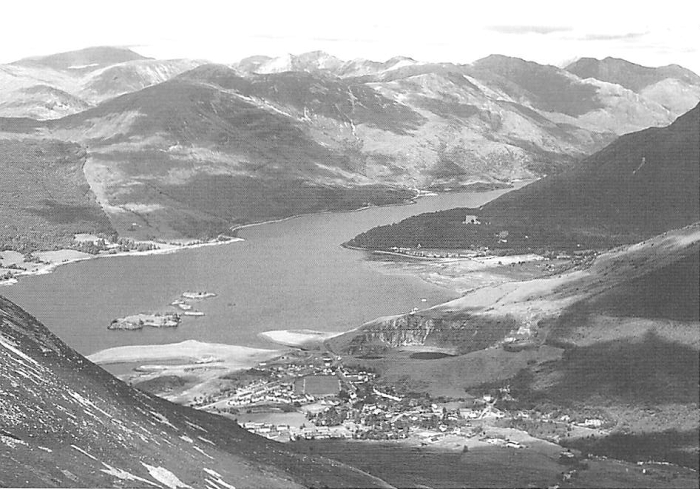
733 KB | Scotfot | View from Beinn Bhan looking NE over the town of Ballachulish and the abandoned East Laroch slate quarry to Loch Leven. On the left skyline is Ben Nevis, with the Mamores stretching to the east. Photo 3 from: Pattison, D.R.M. and Harte, B. The Ballach... | 1 |
| 13:12, 3 November 2015 | IS026.jpg (file) |  |
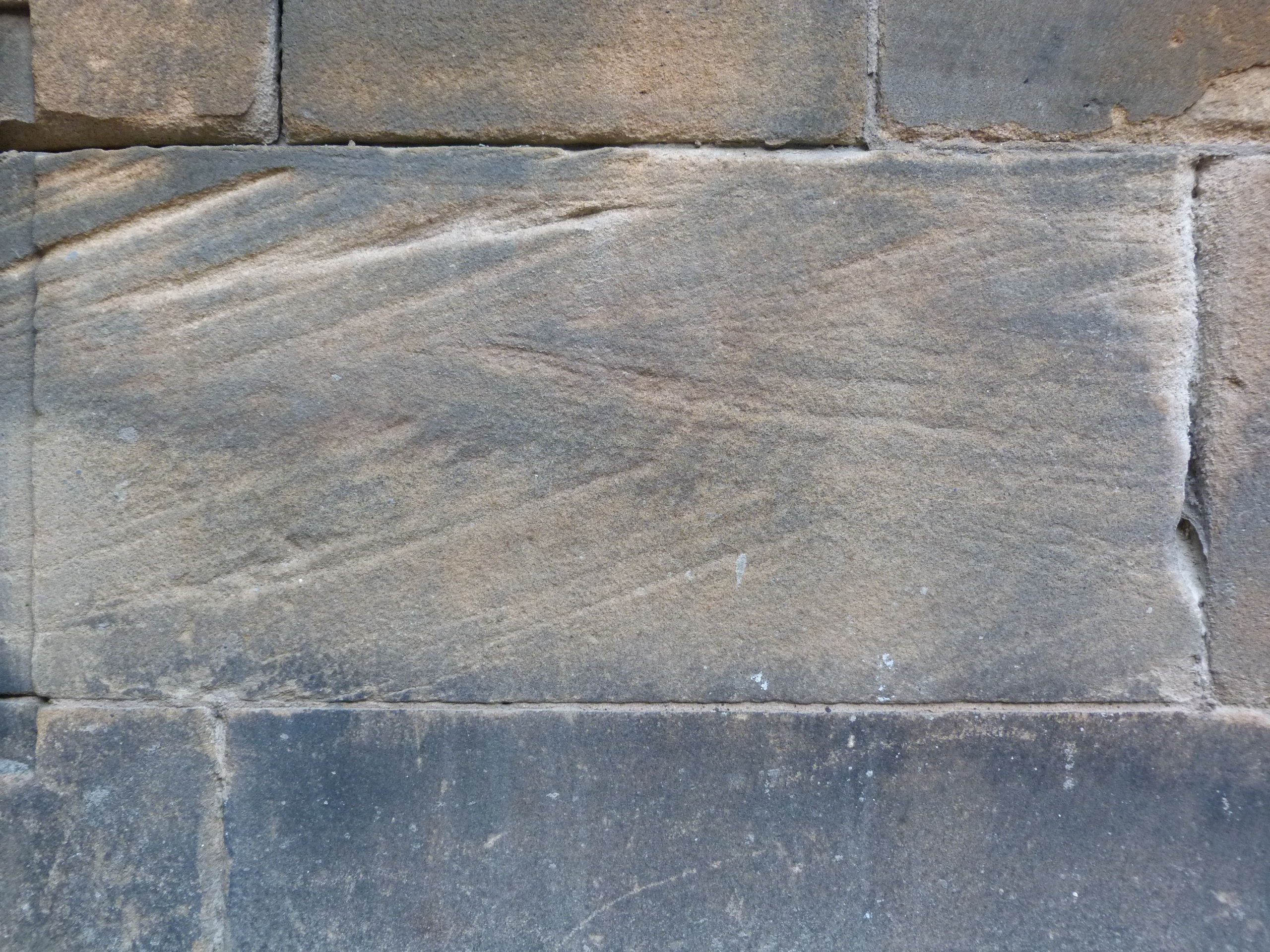
3.01 MB | Islasimmons | Teviot Medical School, Edinburgh. Cross-bedded Carboniferous Polmaise sandstone (Stirlingshire). Built in 1886 by Sir R. Rowand Anderson. | 1 |
| 13:10, 3 November 2015 | IS025.jpg (file) |  |
2.75 MB | Islasimmons | Teviot Medical School, Edinburgh. Carboniferous Polmaise sandstone (Stirlingshire). Built in 1886 by Sir R. Rowand Anderson. | 1 |
| 12:51, 3 November 2015 | IS024.jpg (file) |  |
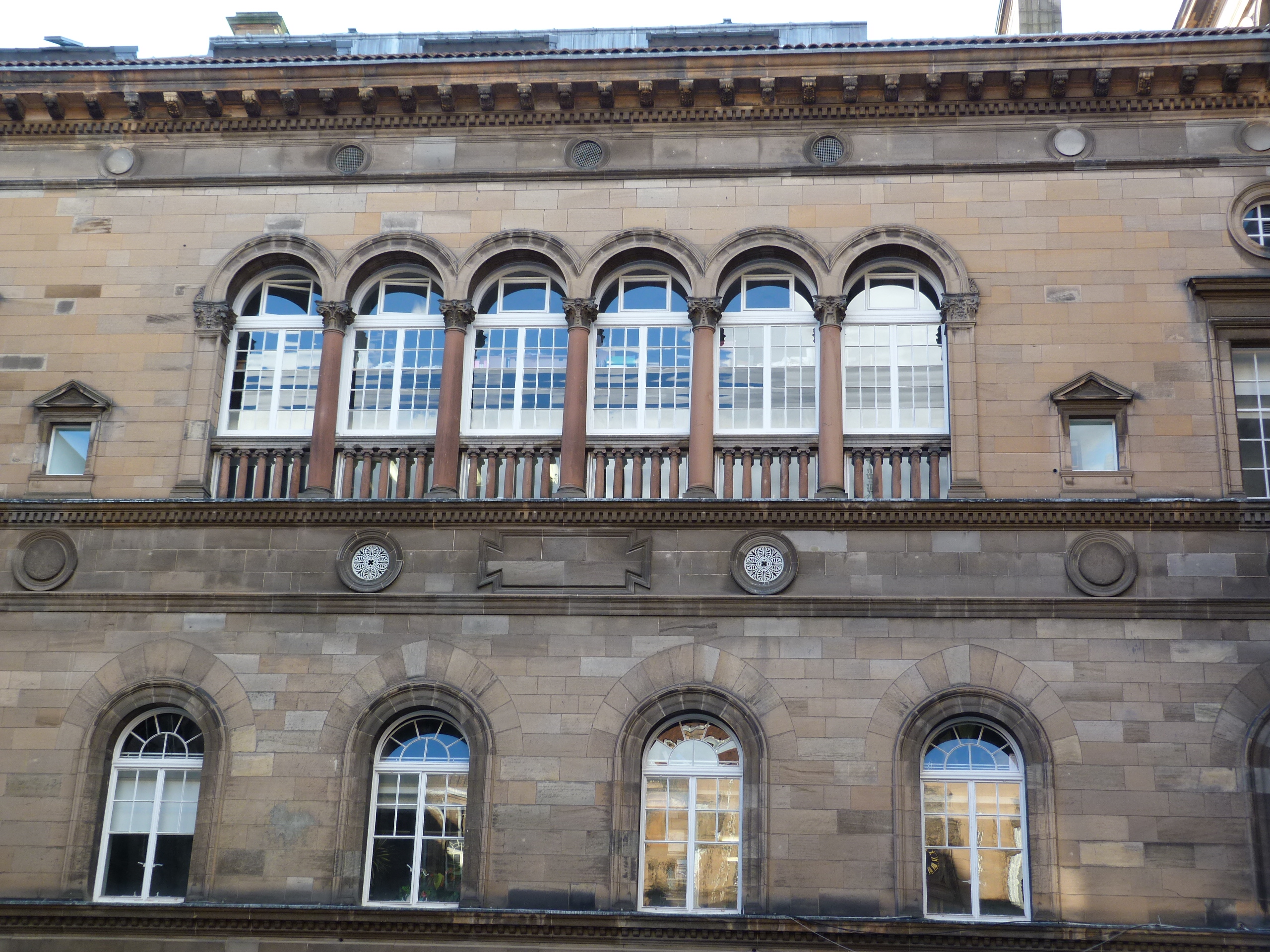
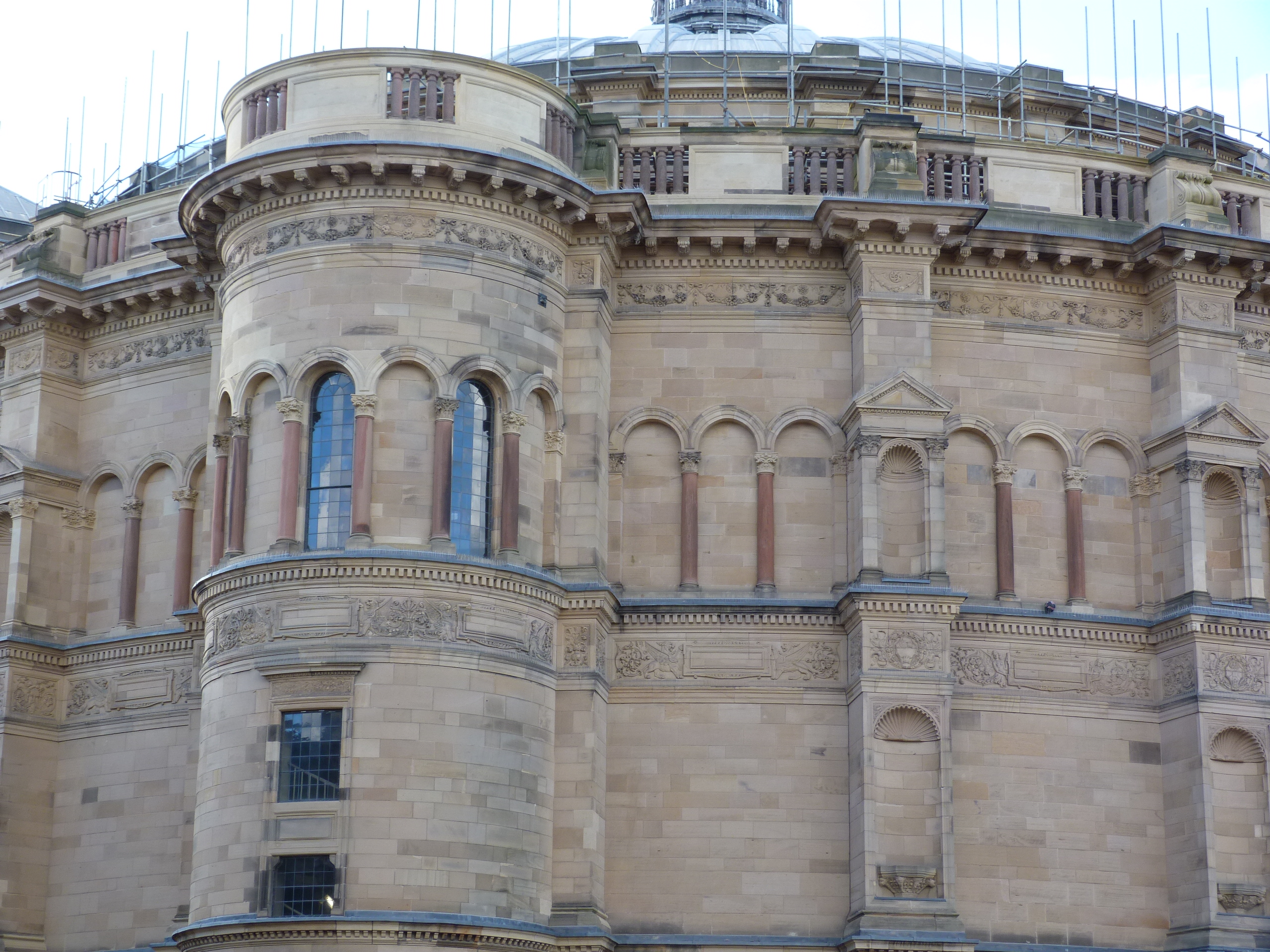
2.76 MB | Islasimmons | McEwan Hall, Edinburgh. Carboniferous sandstones Polmaise (Stirlingshire) and Prudham (Hexham, Northumberland). Small red sandstone columns are Triassic St Bees sandstone from Corsehill (Annan). Built in 1888-1897 by Sir R. Rowand Anderson. | 1 |