Geography
Africa Groundwater Atlas >> Additional resources >> Topography

Dataset description
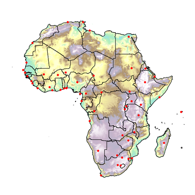
A digital elevation model (DEM) has been used to produce a topographic map for each country in the Atlas. The DEM is derived from the US Geological Survey (USGS) Global 30 Arc-Second Elevation dataset (GTOPO30).
Administrative country boundaries in the Atlas are derived from the GADM database of global administrative areas (version 2.0).
Capital cities shown in the Atlas are taken from the 2011 Revision of World Urbanization Prospects, provided by the United Nations Department of Economic and Social Affairs (Population Division, Population Estimates and Projections Section).
Links to external data
The USGS Global 30 Arc-Second Elevation dataset is available from the US Geological Survey.
The administrative boundaries are available to download from GADM.
The Capital Cities shapefile is available from the United Nations through the Geocommons website.
Africa Groundwater Atlas >> Additional resources >> Topography