Category:Coastal Modeling Environment

What is the Coastal Modeling Environment?
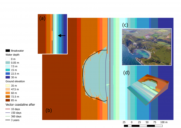
The Cooastal Modeling Environment, hereinafter CoastalME, is a generic modelling environment to simulate coastal landscape evolution on spatial scales of kms to tens of kms, over decadal to centennial timescales. The novelty is that it simulates coastal morphology evolution as a set of dynamically linked raster and geometrical objects. Geometrical objects are derived from the raster structure providing a library of coastal elements (e.g. shoreline) that are conventionally used for modelling coastal behaviour on the timescales of interest.
- It is an engineering tool for advanced modellers seeking to simulate the interaction of multiple coastal landforms and different types of human interventions.
- Payo et al. (2017) described in detail the rationale behind CoastalME and demonstrated how it can be used to integrate; the Soft Cliff and Platform Erosion model SCAPE, the Coastal Vector Evolution Model COVE and the Cross Shore model CSHORE.
- The software is written in C++ following the object oriented paradigm and has been documented using Doxygen.
- The C++ source code is available for download under GNU open source license via a dedicated GitHub site here.
- Creation and visualization of all inputs an ouputs can be done using your prefereed text editor (i.e. Notepad++ for the config files) and QGIS (for the raster and vector output files).
This category currently contains no pages or media.
