Hydrogeology of Western Sahara
Africa Groundwater Atlas >> Hydrogeology by country >> Hydrogeology of Western Sahara
This page shows a simplified geological and hydrogeological map of Western Sahara. Most geological and hydrogeological work in Western Sahara is carried out by Morocco. More information on the geology and hydrogeology; on the quantitative and qualitative status of groundwater; and on groundwater use, management and monitoring carried out in both Morocco and Western Sahara, is available on request, or through the published literature listed in the Hydrogeology of Morocco Reference section.
Authors
Kirsty Upton and Brighid Ó Dochartaigh, British Geological Survey, UK
Geographical Setting
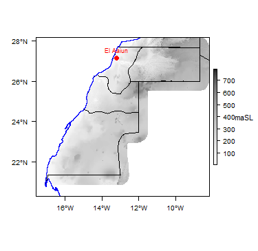
General
| Estimated Population in 2012* | 549,000 |
| Rural Population (% of total) (2013)* | 17.6% |
| Total Surface Area* | 266,000 sq km |
| Capital City | El Aaiún |
| Region | Northern Africa |
| Border Countries | Morocco, Mauritania, Algeria |
Climate
-
Koppen Geiger Climate Zones
-
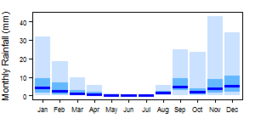
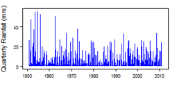
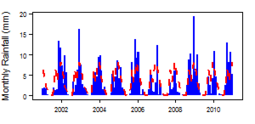
Average Annual Precipitation
-
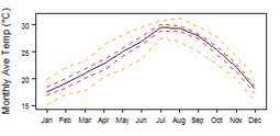
Average Temperature
For further detail on the climate datasets used see the climate resources section.
Surface water
|
|
 |
Soil
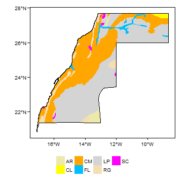 |
Land cover
 |
Geology
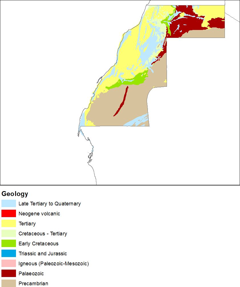
The geology map on this page shows a simplified version of the geology at a national scale (see the Geology resources page for more details on the derivation of the map).
Hydrogeology
The hydrogeology map below shows a simplified version of the type and productivity of the main aquifers at a national scale (see the Aquifer properties resource page for more details on the derivation of the map).

References
Most information on the geology and hydrogeology of Western Sahara, and on the status, use and management of groundwater, is from Moroccan sources. A list of references on the geology and hydrogeology of Morocco includes information on Western Sahara.
Return to the index pages
Africa Groundwater Atlas >> Hydrogeology by country >> Hydrogeology of Western Sahara


